Solutions to Support Farming Using Spatial Information Technology
KOKUSAI KOGYO CO., LTD.
| Updated | October 8, 2021/July 6, 2017 |
|---|---|
| Publication date | December 02, 2016 (Posted on June 22, 2022) |
| Sector | Agriculture, Forestry, Fisheries |
Company Overview
As a leading company in geospatial information technology, Kokusai Kogyo Co., Ltd. is leading the industry by creating safe and secure "green communities" with its expertise in social infrastructure, disaster prevention and environmental protection, and renewable energy.
Climate Change Impacts
The average temperature has been increasing by the year along with the progress of the climate change, while cases of extreme weather such as lack of sunshine or heavy rainfall in specific areas has also been increasing. The power of typhoons is becoming stronger and the numbers are increasing, which poses production risks for agriculture. These risks are considered as a close and familiar issue for the public because of its impact to the supply to consumption sites.
Adaptation Initiatives
Utilizing our multi-platform sensing technology, we deploy our farming support service “Up-a-ray” throughout Japan to support strategic decision makings for agriculture and dairy farming that encounter extreme weather and high temperatures (Figs. 1,2).
This service enables efficient and quasi-real time observation of the growth status of crops covering a wide area of the field from the sky using satellite images, aerial photographs, and Unmanned Aerial Vehicles (UAVs) (Fig. 3).
We are seeking to further develop the technology and expand the contents of this service through collaboration with specialized organizations and agriculture-related companies.
Effects/Expected Benefits
The farm management support information provided through this service is based on the integrated analysis of a variety of geospatial and agricultural information. By utilizing this information, farmers will be able to respond to extreme weather and high temperatures, and take measures to: improve yield and quality, produce safely, reduce man-power, succeed to the next generation, and make decisions for emergencies.
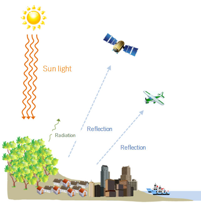
Fig. 1 Image of sensing technology
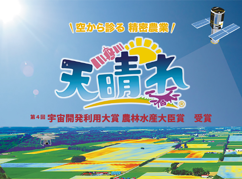
Fig.2 Image of the farming support service “Up-a-ray”
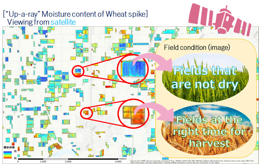
Fig. 3 Example of a diagnosis for the optimal wheat harvest time
